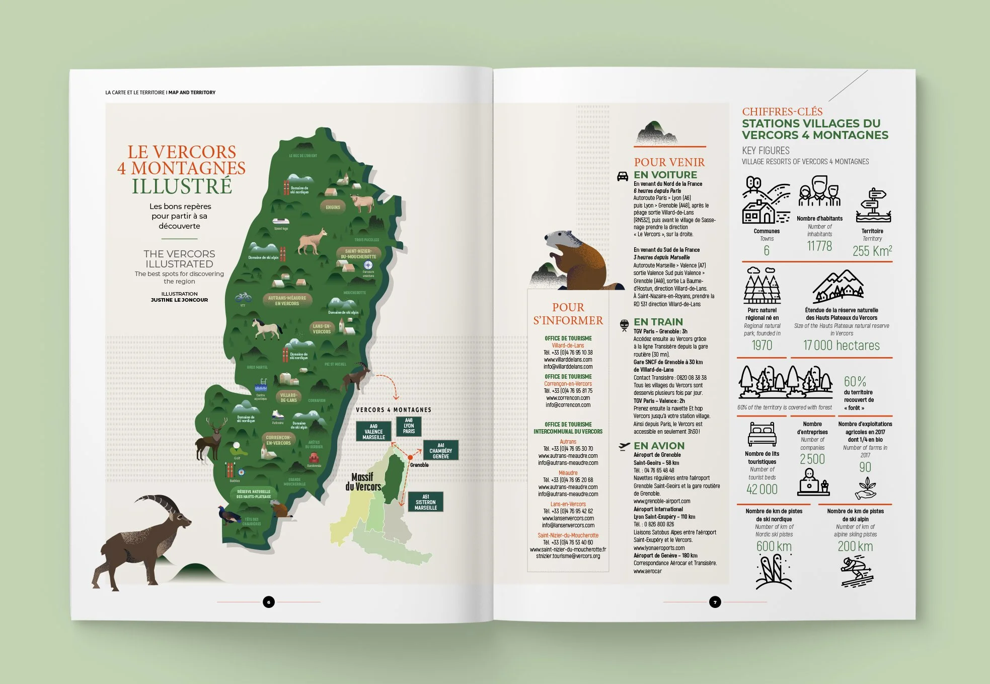
Illustrated Map of the Vercors
Context:
Created for Vercors Inside, this map brings together the landscapes and key features of the Vercors region within a single image.
Solution:
The illustration combines clarity with a more personal reading of the territory, weaving together landmarks, natural elements and local details into a coherent whole.